The Park’s Perimeter
A HUGE PERIMETER !
New Caledonia owns a vast maritime space which begins 12 nautical miles beyond the barrier reef and extends for as much as 200 nautical miles, or 1.3 million km2, the equivalent of three times the surface area covered by the waters bordering France.
This perimeter is defined by the governmental decree which created the Natural Park of The Coral Sea on 23 April 2014.
Why This Specific Perimeter ?
The Perimeter was determined according to the objectives defined by New Caledonia.
Therefore, the deciding factor behind the decision was the taking into account of various kinds of elements:
- physical (The surface area covered by New Caledonia’s maritime space),
- biologic (preserve ecosystems, habitats, species),
- social (participate in regional and international dynamics ),
- economic (participate in the sustainable development of existing and future economic activities to meet tomorrow’s challenges.
The NATURAL PARK’S FRONTIERS
|
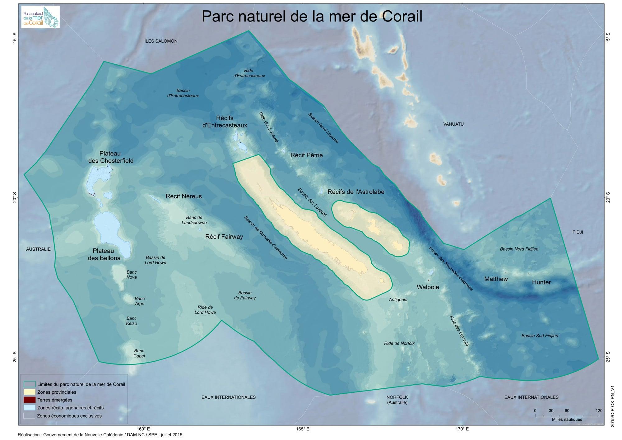
The Natural Park’s borders are delimited : to the West and South by Australia, to the North by the Salomon Islands, to the East by Vanuatu and Fiji.
|
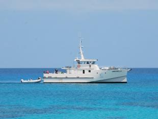
From Noumea, It would take two days to reach The Chesterfield Plateau by boat and one to reach Surprise Island, located on the d'Entrecasteaux reefs, with a boat similar to Amborella, whose average speed is 12 nots. |
A ONE-OF-A-KIND RELIEF
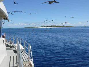
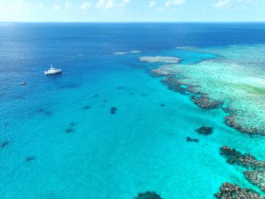
The Natural Park includes New Caledonia’s maritime space as well as inhabited islands (Entrecasteaux, Chesterfield, Walpole, Matthew, Hunter). Underneath this huge body of water, varied kinds of reliefs can be found: high-sea areas, a deep-sea trench, sea mounts, volcanic islands, probably some hydrothermal vents, coral reefs (including the Pristine reefs, some of the few which remain intact today).

